Lewes Boulevard Transit Priority Pilot
June 2, 2022Range Road
June 2, 2022
Overview
Between 2019 and 2020, the City, in partnership with the Kwanlin Dün First Nation, conducted a transportation study for the McIntyre Drive corridor to identify existing transportation issues and develop potential solutions.
The study area includes McIntyre Drive from Hamilton Boulevard & McIntyre Drive (north) and Hamilton Boulevard & McIntyre Drive (south).
Background
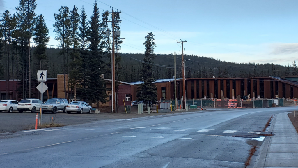
McIntyre Drive is a wide, two-lane, two-way collector roadway that is used to access the McIntyre subdivision. The roadway is a looped roadway that runs between Hamilton Boulevard from the Race Trac Gas station to Elijah Smith Elementary School. The existing and future land uses along McIntyre Drive and in the McIntyre neighbourhood includes residential, educational, and institutional land primarily on Kwanlin Dün First Nation settlement land parcels.
Due to the existing roadway environment, McIntyre Drive has a history of road safety concerns. McIntyre Drive has been identified for potential traffic calming based on perceived safety and operational issues along the entire street. Road safety issues along the corridor include but are not limited to pedestrian infrastructure gaps, poor lighting, high incidences of excessive speeding, and poor sightlines.
Links
Related Projects
McIntyre Drive Traffic Calming
McIntyre Drive Traffic Calming Pilot
Relevant Plans and Studies
Bicycle Network Plan (2018)